From Seattle to Vancouver by train
In Seattle, you go down from a hilltop market to the water. In Vancouver, you follow the waterfront out of the city, until the trees of Stanley Park take over. The Amtrak Cascades links the two cities. Give each of them a few days, and add Vancouver Island if you have time for a crossing and a stay on the coast.
Seattle from the market stalls to the bay
Start at Pike Place Market. The market opened in 1907 as a place where farmers could sell their goods directly. First look among the stalls for something to take with you, then walk via MarketFront to the Overlook Walk. From the raised path, you look out over the piers of Elliott Bay. You go down to the waterfront by stairs or the winding path. The city of Seattle describes the connection, the city archives tell how the market began.
Then follow the waterfront to Olympic Sculpture Park. The large sculptures are spread across the grounds. You look back and forth between art and the bay, with the mountains on the other side in clear weather.
Follow the tracks along Puget Sound
North of Seattle, the water of Puget Sound comes into view near Edmonds. Choose a train that makes this part in daylight if you want to see some of the coast. At Amtrak Cascades, there are bus rides on the route as well as trains. So check the transport if you want to do this leg by rail.
You leave from King Street Station and choose Pacific Central Station in Canada. The route map also shows Vancouver, Washington. That is a different city, south of Seattle.
eSIM United States & Canada
Regional eSIM plans for the United States and Canada
Prepaid data bundles from €12.99. We check price and availability again at checkout.


- Delivered instantly: QR code right after payment
- Works on reliable local networks
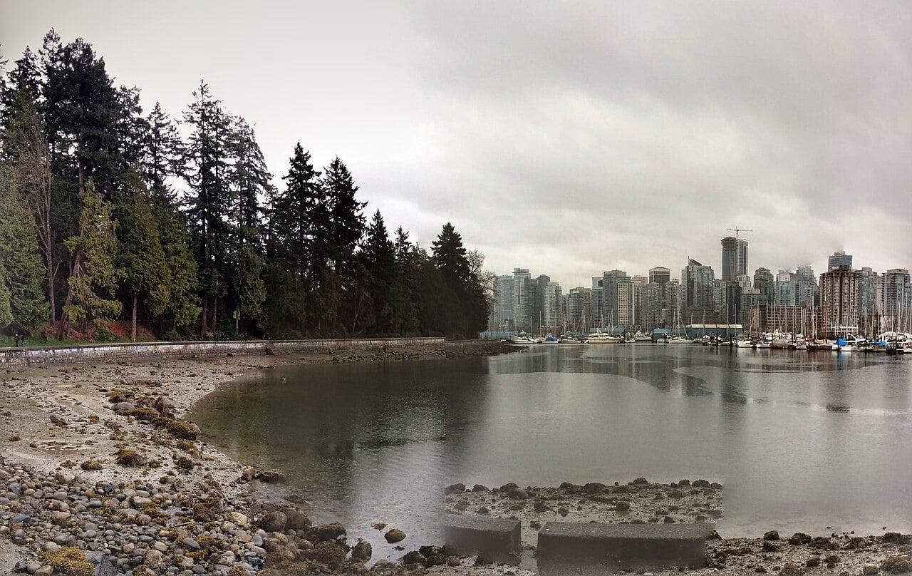
Follow the waterfront to the art of Stanley Park
Walk from Coal Harbour along the water to Stanley Park. Choose Brockton Point as a turning point for a short walk. There you will find, among other things, the carvings of Coast Salish artist Susan Point and a pole by Robert Yelton of the Squamish Nation. Read the explanation from the city of Vancouver, or take your time on site with the names by the works. That way you can better see the stories and makers behind the carvings.
If you want to go all the way around the park, leave plenty of time for the Seawall, the walking and cycling path around the headland. If your route is closed for maintenance, choose a turning point or a route through the park in advance.
Choose between city and west coast on Vancouver Island
For Victoria, take BC Ferries from Tsawwassen to Swartz Bay. For the west coast, take the ferry from Horseshoe Bay to Departure Bay near Nanaimo. From Nanaimo, according to Parks Canada, it is still about three hours by car to the Long Beach area. Make the crossing and drive into a travel day, and sleep in the Tofino or Ucluelet area.
By the sea, you can combine a beach walk with a trail through the temperate rainforest. On the current Pacific Rim hiking map, choose the trails that fit your visit. On the return trip, check the terminal name again. Vancouver on your booking does not yet tell you which port you arrive at.
Frequently asked questions
How do I know if my trip to Vancouver is really by train?
Check the transport with Amtrak. Bus connections also appear on the same route.
Are Victoria and Long Beach close to each other?
For Long Beach, a stay in Tofino or Ucluelet is more practical. Choose Victoria if you mainly want to spend time in the city at the southeast tip of the island.